
Thank you for supporting this site ❤️
Make a donation
Make a donation
Gear up for your next adventure:
As an Amazon Associate, this site earns from qualifying purchases at no extra cost to you.
Skogsvåg topographic map
Click on the map to display elevation.
Thank you for supporting this site ❤️
Make a donation
Make a donation
Gear up for your next adventure:
As an Amazon Associate, this site earns from qualifying purchases at no extra cost to you.
About this map
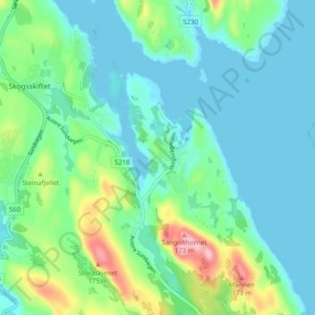
Name: Skogsvåg topographic map, elevation, terrain.
Location: Skogsvåg, Øygarden, Vestland, 5382, Norway (60.24067 5.08615 60.28067 5.12615)
Average elevation: 40 m
Minimum elevation: -7 m
Maximum elevation: 175 m
Thank you for supporting this site ❤️
Make a donation
Make a donation
Gear up for your next adventure:
As an Amazon Associate, this site earns from qualifying purchases at no extra cost to you.