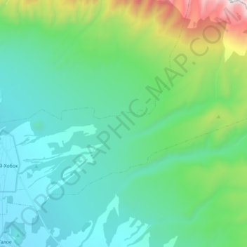
Хурай-Хобок topographic map
Interactive map
Click on the map to display elevation.
About this map
Name: Хурай-Хобок topographic map, elevation, terrain.
Average elevation: 1,069 m
Minimum elevation: 724 m
Maximum elevation: 2,391 m

Click on the map to display elevation.
Name: Хурай-Хобок topographic map, elevation, terrain.
Average elevation: 1,069 m
Minimum elevation: 724 m
Maximum elevation: 2,391 m