
Tekeli topographic map
Interactive map
Click on the map to display elevation.
About this map
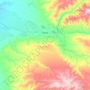
Name: Tekeli topographic map, elevation, terrain.
Location: Tekeli, Almaty Region, 041700, Kazakhstan (44.77066 78.68989 44.88731 79.02117)
Average elevation: 1,540 m
Minimum elevation: 830 m
Maximum elevation: 2,805 m