Geolocate

Cogon topographic map

Click on the map to display elevation.

About this map
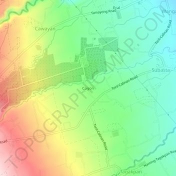
Name: Cogon topographic map, elevation, terrain.

Location: Cogon, Calinan, Davao City, Davao Region, Philippines (7.12481 125.40154 7.16481 125.44154)

Average elevation: 382 m

Minimum elevation: 276 m

Maximum elevation: 542 m

Other topographic maps

Click on a map to view its topography, its elevation and its terrain.

Dominga

Philippines > Davao City > Calinan

Average elevation: 210 m

Saloy

Philippines > Davao City > Calinan

Average elevation: 374 m

Lamanan

Philippines > Davao City > Calinan

Average elevation: 327 m

Davao River

Philippines > Davao City > Calinan > Dominga

Average elevation: 168 m

Gear up for your next adventure:

🔦LED Headlamp - Hands-free lighting for early morning starts or late finishes
🧥Thermal Fleece Jacket - Versatile insulation for changing mountain temperatures
🧭GPS Outdoor Watch - Smart watch for navigation and fitness tracking in nature
🦶Hiking Shoe Insoles - Added support for high arches and long days on feet
🧴Waterproofing Spray - Restore the DWR coating on jackets and tents

As an Amazon Associate, this site earns from qualifying purchases at no extra cost to you.