
Thank you for supporting this site ❤️
Make a donation
Make a donation
Gear up for your next adventure:
As an Amazon Associate, this site earns from qualifying purchases at no extra cost to you.
Wissenkerke topographic map
Click on the map to display elevation.
Thank you for supporting this site ❤️
Make a donation
Make a donation
Gear up for your next adventure:
As an Amazon Associate, this site earns from qualifying purchases at no extra cost to you.
About this map
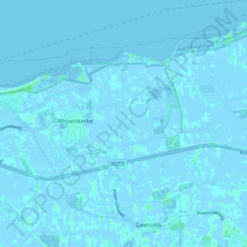
Name: Wissenkerke topographic map, elevation, terrain.
Location: Wissenkerke, Noord-Beveland, Zeeland, Netherlands (51.56811 3.72922 51.60220 3.80737)
Average elevation: 0 m
Minimum elevation: -3 m
Maximum elevation: 5 m
Thank you for supporting this site ❤️
Make a donation
Make a donation
Gear up for your next adventure:
As an Amazon Associate, this site earns from qualifying purchases at no extra cost to you.