Geolocate

Nukutavake topographic map

Click on the map to display elevation.

About this map

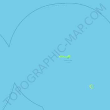
Name: Nukutavake topographic map, elevation, terrain.

Location: Nukutavake, Tuamotu-Gambier, French Polynesia, France (-19.47356 -139.01270 -19.07261 -138.56341)

Average elevation: 0 m

Minimum elevation: 0 m

Maximum elevation: 16 m

Other topographic maps

Click on a map to view its topography, its elevation and its terrain.

Pinaki

France > French Polynesia > Nukutavake

Average elevation: 1 m

Gear up for your next adventure:

🔥Camping Stove - Portable stoves to cook outdoors with ease
🥾Mountain Hiking Boots - High-traction boots for rocky terrain
🧭GPS Handheld Device - Reliable GPS navigation for outdoor adventures
🧢Sun Protection Cap - Breathable cap to protect from sun exposure
🧣Evaporative Cooling Towel - Beat the heat during intense summer climbs

As an Amazon Associate, this site earns from qualifying purchases at no extra cost to you.