
Nanuet topographic map
Click on the map to display elevation.
Nanuet
The topography is a result of the massive glaciation of the last ice age, and as such the soil is extremely rocky and the surface shows glacial erratic boulders. The glacial ice scraped off and carried with it rocks and minerals from as far north as Canada, depositing them in Nanuet in particular and southern New York in general. This is the hypothesized source of the manganese-rich parvo-mangano-edenite minerals, as well as the placer ore for gold panning within Nauraushaun Brook. There are fossil impressions of huge Precambrian Era jellyfish in the wooded, undeveloped regions. One prominent surface feature, a Hopewell Indian burial mound dating to 325 AD, is located near Nauraushaun Brook at the western edge of the Manhattan Woods Golf Club in West Nyack. Aerial views of this feature reveal it to have been built in the shape of a snake.
About this map
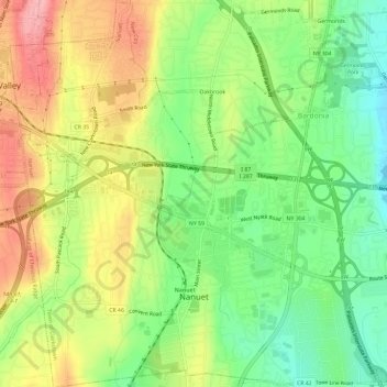
Name: Nanuet topographic map, elevation, terrain.
Average elevation: 104 m
Minimum elevation: 48 m
Maximum elevation: 171 m