Geolocate

Sias topographic map

Click on the map to display elevation.

👉 Easily get elevation data in JSON, GeoTIFF and KML formats using Elevation API
Thank you for supporting this site ❤️
Make a donation

About this map

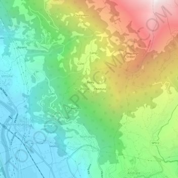
Name: Sias topographic map, elevation, terrain.

Location: Sias, Nomaglio, Torino, Piedmont, 10013, Italy (45.52680 7.84074 45.56680 7.88074)

Average elevation: 869 m

Minimum elevation: 252 m

Maximum elevation: 2,001 m

Gear up for your next adventure:

Lightweight Backpacking Tent - Compact tent for efficient hiking trips
🏃Hydration Running Vest - Carry water and maps close to your body for speed
🥫Freeze-Dried Meals - Lightweight, high-calorie nutrition for multi-day treks
🥾Mountain Hiking Shoes - Shoes with superior grip for mountainous terrain
🏕️Camping Hammock - Integrated protection for sleeping between trees

As an Amazon Associate, this site earns from qualifying purchases at no extra cost to you.