Geolocate

Zons topographic map

Click on the map to display elevation.

Zons

At about the middle of the thirteenth century Zons castrum (castle) was fortified. The location of the older rural settlement of Zons can only be presumed based on field-names and topography. The field-name „Im Hofstädtchen“ at today's Aldenhovenstraße near the Old Town could reference to this settlement with the crossing paths at this spot being a possible additional indicator.

Wikipedia (CC-BY-SA 3.0)

About this map

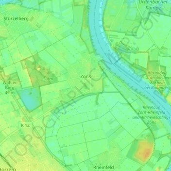
Name: Zons topographic map, elevation, terrain.

Location: Zons, Dormagen, Rhein-Kreis Neuss, North Rhine-Westphalia, 41541, Germany (51.10706 6.79940 51.13456 6.86911)

Average elevation: 40 m

Minimum elevation: 30 m

Maximum elevation: 53 m

Gear up for your next adventure:

🥾Lightweight Hiking Boots - Boots for comfort and mobility on long hikes
💡Portable Camping Lamp - Rechargeable lamp for campsite lighting
🔨Vehicle Emergency Tool - Safety tool for remote road trips to trailheads
🧊Portable Cooler - Keep food and drinks cold during outdoor adventures
🧶550 Survival Paracord - Versatile utility cord for emergency repairs and rigging

As an Amazon Associate, this site earns from qualifying purchases at no extra cost to you.