Geolocate

Joya topographic map

Click on the map to display elevation.

About this map

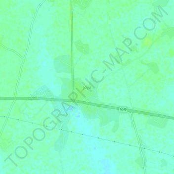
Name: Joya topographic map, elevation, terrain.

Location: Joya, Amroha, Uttar Pradesh, India (28.81850 78.45447 28.85850 78.49447)

Average elevation: 211 m

Minimum elevation: 206 m

Maximum elevation: 214 m

Gear up for your next adventure:

🥾Trekking Poles - Adjustable trekking poles to reduce knee stress and improve stability
🏕️Camping Hammock - Integrated protection for sleeping between trees
🥾Lightweight Hiking Boots - Boots for comfort and mobility on long hikes
🦯Trekking Poles - Reduced impact on joints for steep topographic climbs
🛶Kayak Dry Bag - Waterproof storage for kayaking adventures

As an Amazon Associate, this site earns from qualifying purchases at no extra cost to you.