
Samaipata topographic map
Click on the map to display elevation.
Samaipata
Samaipata or Samaypata (Quechua samay to rest, pata elevated place / above, at the top / edge, bank (of a river), shore) is a small town in the Florida Province of the Santa Cruz Department in Bolivia. It has a subtropical climate and an altitude of 1600–1800 m. It lies about 120 kilometers to the southwest of the city of Santa Cruz de la Sierra in the foothills of the Andes on the way to Sucre. It is a popular resort for the inhabitants of Santa Cruz due to its cool climate. As such, there is a regular bus and taxi service to Santa Cruz. The town is small, with numerous vibrant colonial buildings and narrow cobbled streets. It is located close to several tourist attractions such as El Fuerte de Samaipata, the Amboro National Park, El Codo de los Andes, Cuevas waterfalls, vineyards, rapids and lagoons, as well as well-preserved colonial towns such as Vallegrande, Pampagrande, Postrervalle, Santiago del Valle, Pucará, and others. It is also the first stop in the several tourist trails to Sucre, Potosi, and the Che Guevara route.
About this map
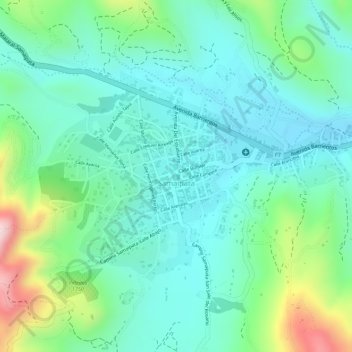
Name: Samaipata topographic map, elevation, terrain.
Average elevation: 1,695 m
Minimum elevation: 1,609 m
Maximum elevation: 1,919 m