Geolocate

Baragudi topographic map

Click on the map to display elevation.

About this map

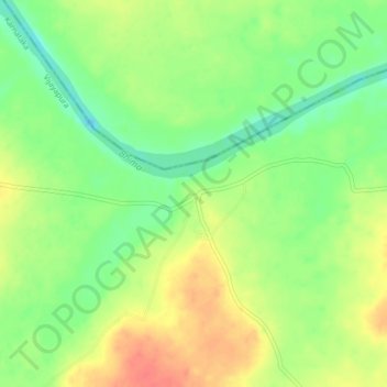
Name: Baragudi topographic map, elevation, terrain.

Location: Baragudi, Indi taluku, Vijayapura, Karnataka, India (17.29944 75.91484 17.33944 75.95484)

Average elevation: 426 m

Minimum elevation: 399 m

Maximum elevation: 454 m

Gear up for your next adventure:

🧥Softshell Hiking Jacket - The perfect balance of wind protection and breathability
🧥Waterproof Hiking Jacket - Protect yourself from rain and wind while hiking
🥤Collapsible Travel Cup - Saves space and weight in your mess kit
🎒Hiking Backpack - Lightweight and ergonomic backpacks for day hikes or multi-day treks
🦌Outdoor Trail Camera - Monitor wildlife activity near your favorite spots

As an Amazon Associate, this site earns from qualifying purchases at no extra cost to you.