Geolocate

Ossola topographic map

Click on the map to display elevation.

About this map
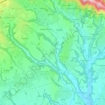
Name: Ossola topographic map, elevation, terrain.

Location: Ossola, Maresso, Missaglia, Lecco, Lombardia, 23873, Italia (45.66883 9.32694 45.70883 9.36694)

Average elevation: 288 m

Minimum elevation: 228 m

Maximum elevation: 473 m

Gear up for your next adventure:

🥾Waterproof Hiking Boots - Essential footwear for rugged terrain and wet Canadian trails
🍽️Titanium Camping Spork - Ultralight and indestructible eating utensil
🧦Hiking Socks - Moisture-wicking and comfortable socks for long hikes
🧴Waterproofing Spray - Restore the DWR coating on jackets and tents
🥾Waterproof Hiking Shoes - Durable shoes for wet and rugged trails

As an Amazon Associate, this site earns from qualifying purchases at no extra cost to you.