
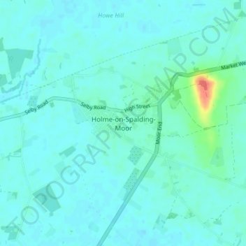
Holme-on-Spalding-Moor topographic map
Interactive map
Click on the map to display elevation.
About this map
Name: Holme-on-Spalding-Moor topographic map, elevation, terrain.
Average elevation: 8 m
Minimum elevation: 2 m
Maximum elevation: 47 m
Other topographic maps
Click on a map to view its topography, its elevation and its terrain.
Beverley
United Kingdom > England > East Riding of Yorkshire
Beverley, East Riding of Yorkshire, England, United Kingdom
Average elevation: 17 m
Pocklington
United Kingdom > England > East Riding of Yorkshire
Pocklington, East Riding of Yorkshire, England, United Kingdom
Average elevation: 34 m