
Thank you for supporting this site ❤️
Make a donation
Make a donation
Gear up for your next adventure:
As an Amazon Associate, this site earns from qualifying purchases at no extra cost to you.
Gümenek topographic map
Click on the map to display elevation.
Thank you for supporting this site ❤️
Make a donation
Make a donation
Gear up for your next adventure:
As an Amazon Associate, this site earns from qualifying purchases at no extra cost to you.
About this map
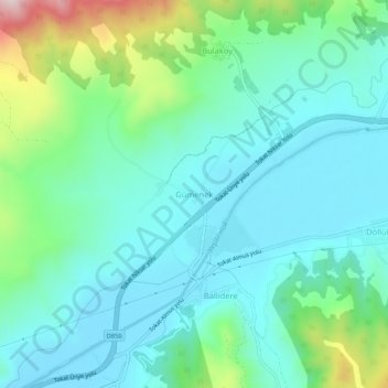
Name: Gümenek topographic map, elevation, terrain.
Location: Gümenek, Tokat, Région de la mer Noire, 60000, Turquie (40.34411 36.61960 40.38411 36.65960)
Average elevation: 716 m
Minimum elevation: 610 m
Maximum elevation: 1,083 m
Thank you for supporting this site ❤️
Make a donation
Make a donation
Gear up for your next adventure:
As an Amazon Associate, this site earns from qualifying purchases at no extra cost to you.