Geolocate

Bumijawa topographic map

Click on the map to display elevation.

About this map

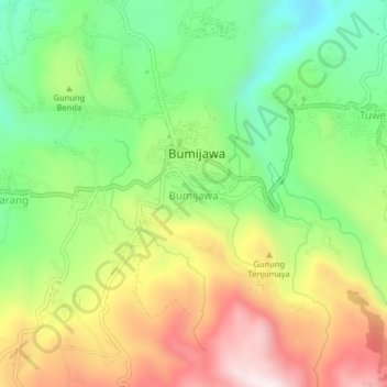
Name: Bumijawa topographic map, elevation, terrain.

Location: Bumijawa, Tegal, Central Java, Java, 52466, Indonesia (-7.19232 109.11020 -7.15232 109.15020)

Average elevation: 971 m

Minimum elevation: 698 m

Maximum elevation: 1,323 m

Gear up for your next adventure:

🚲Handlebar Phone Mount - View topographic-map.com live while cycling
🧦Outdoor Socks - Durable socks designed for hiking and outdoor sports
🧥Thermal Fleece Jacket - Versatile insulation for changing mountain temperatures
🔋Lithium AA Batteries - Long-lasting power that performs in extreme cold
🪑Ultralight Camping Stool - Compact seating for rest stops during long hikes

As an Amazon Associate, this site earns from qualifying purchases at no extra cost to you.