Geolocate

Saigha topographic map

Click on the map to display elevation.

About this map

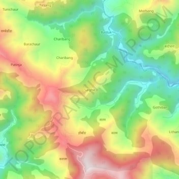
Name: Saigha topographic map, elevation, terrain.

Location: Saigha, Ghorahi-19, Ghorahi, Dang, Lumbini Province, Nepal (28.08902 82.53715 28.12902 82.57715)

Average elevation: 1,239 m

Minimum elevation: 908 m

Maximum elevation: 1,638 m

Gear up for your next adventure:

🧴Bear Spray Holster - Quick-access carry for essential Canadian wilderness safety
🥾Waterproof Hiking Boots - Essential footwear for rugged terrain and wet Canadian trails
🛌Insulated Sleeping Pad - Critical thermal barrier between you and the cold ground
🧭Orienteering Kit - Tools for map reading and navigation in the wild
🗺️Topographic Maps - Detailed maps to explore trails, mountains, and wilderness areas

As an Amazon Associate, this site earns from qualifying purchases at no extra cost to you.