
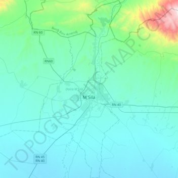
M'sila topographic map
Interactive map
Click on the map to display elevation.
About this map
Name: M'sila topographic map, elevation, terrain.
Location: M'sila, Daïra M'Sila, M'Sila, 28000, Algérie (35.57056 4.43148 35.87438 4.60533)
Average elevation: 559 m
Minimum elevation: 408 m
Maximum elevation: 1,754 m