Geolocate

Allyn Point topographic map

Click on the map to display elevation.

About this map

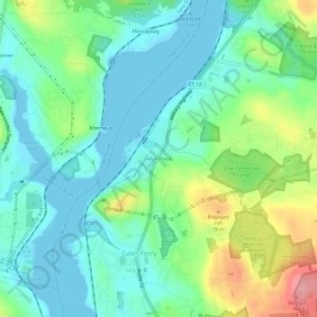
Name: Allyn Point topographic map, elevation, terrain.

Location: Allyn Point, Gales Ferry, Ledyard, Southeastern Connecticut Planning Region, Connecticut, 06335, United States (41.42176 -72.09869 41.46176 -72.05869)

Average elevation: 34 m

Minimum elevation: -4 m

Maximum elevation: 117 m

Other topographic maps

Click on a map to view its topography, its elevation and its terrain.

Gear up for your next adventure:

Camping Groundsheet - Protect your tent from moisture and dirt
🧢Beanie Hat - Keep your head warm in cold weather
🕯️Camping Lantern - Illuminates your entire campsite with high-efficiency LEDs
🧥Softshell Hiking Jacket - The perfect balance of wind protection and breathability
🧢Outdoor Visor - Breathable visor for sunny hikes

As an Amazon Associate, this site earns from qualifying purchases at no extra cost to you.