Geolocate

Pag-asa topographic map

Click on the map to display elevation.

About this map

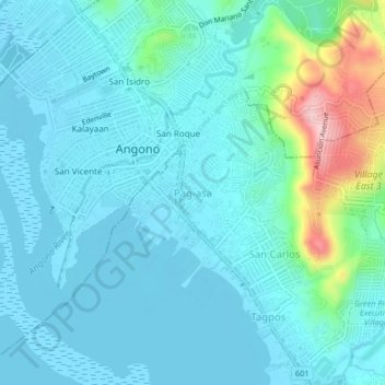
Name: Pag-asa topographic map, elevation, terrain.

Location: Pag-asa, Binangonan, Rizal, Calabarzon, 1930, Philippines (14.50124 121.13890 14.54124 121.17890)

Average elevation: 35 m

Minimum elevation: -3 m

Maximum elevation: 216 m

Other topographic maps

Click on a map to view its topography, its elevation and its terrain.

Calumpang

Philippines > Rizal > Binangonan > Macamot

Average elevation: 16 m

Libis

Philippines > Rizal > Binangonan

Average elevation: 10 m

Talim

Philippines > Rizal > Binangonan

Average elevation: 13 m

Gear up for your next adventure:

Backpacking Tent - Lightweight tent for long-distance hiking trips
👖Convertible Hiking Pants - Zip-off legs to adapt to changing weather conditions
🕯️Camping Lantern - Illuminates your entire campsite with high-efficiency LEDs
🧦Outdoor Socks - Durable socks designed for hiking and outdoor sports
🥾Mountain Hiking Shoes - Shoes with superior grip for mountainous terrain

As an Amazon Associate, this site earns from qualifying purchases at no extra cost to you.