
Make a donation
Gear up for your next adventure:
As an Amazon Associate, this site earns from qualifying purchases at no extra cost to you.
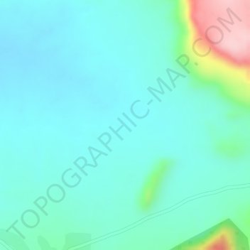
Jos Plateau topographic map
Click on the map to display elevation.
Make a donation
Gear up for your next adventure:
As an Amazon Associate, this site earns from qualifying purchases at no extra cost to you.
Jos Plateau
It covers 8600 km2 and is bounded by 300–600 m escarpments around much of its boundary. With an average altitude of 1,280 m, it is the largest area over 1,000m in Nigeria, with a high point of 1,776m, in the Shere Hills. Several rivers have their sources on the plateau. The Kaduna River drains the western slopes, flowing southwest to join the Niger. The Gongola River drains eastwards to join the Benue. The Hadejia and Yobe rivers flow northeast into Lake Chad.
Make a donation
Gear up for your next adventure:
As an Amazon Associate, this site earns from qualifying purchases at no extra cost to you.
About this map
Name: Jos Plateau topographic map, elevation, terrain.
Location: Jos Plateau, Jos East, Plateau State, Nigeria (9.99995 9.04995 10.00005 9.05005)
Average elevation: 951 m
Minimum elevation: 906 m
Maximum elevation: 1,121 m
Make a donation
Gear up for your next adventure:
As an Amazon Associate, this site earns from qualifying purchases at no extra cost to you.