
Parras topographic map
Interactive map
Click on the map to display elevation.
About this map
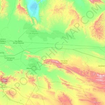
Name: Parras topographic map, elevation, terrain.
Location: Parras, Coahuila, Mexique (24.75440 -102.90471 26.42177 -101.37925)
Average elevation: 1,412 m
Minimum elevation: 845 m
Maximum elevation: 3,117 m
Other topographic maps
Click on a map to view its topography, its elevation and its terrain.