Geolocate

Balian topographic map

Click on the map to display elevation.

About this map

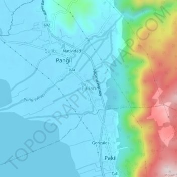
Name: Balian topographic map, elevation, terrain.

Location: Balian, Pangil, Laguna, Calabarzon, 4018, Philippines (14.37655 121.45355 14.41655 121.49355)

Average elevation: 94 m

Minimum elevation: -4 m

Maximum elevation: 489 m

Gear up for your next adventure:

🥾Approach Boots - Comfortable boots for hiking and climbing approaches
🧴Outdoor Sunscreen - High SPF protection for high-altitude UV exposure
🛶Kayak Accessories - Essential gear for safe and fun kayaking adventures
🥾All-Terrain Hiking Boots - Versatile boots for varied hiking conditions
🥾Hiking Shoes - Durable and comfortable shoes for trail hiking

As an Amazon Associate, this site earns from qualifying purchases at no extra cost to you.