
Make a donation
Gear up for your next adventure:
As an Amazon Associate, this site earns from qualifying purchases at no extra cost to you.
San Agustin topographic map
Click on the map to display elevation.
Make a donation
Gear up for your next adventure:
As an Amazon Associate, this site earns from qualifying purchases at no extra cost to you.
About this map
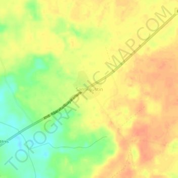
Name: San Agustin topographic map, elevation, terrain.
Location: San Agustin, Guayaramerín, Beni, Bolivia (-10.97238 -65.51197 -10.93238 -65.47197)
Average elevation: 142 m
Minimum elevation: 115 m
Maximum elevation: 158 m
Make a donation
Gear up for your next adventure:
As an Amazon Associate, this site earns from qualifying purchases at no extra cost to you.
Other topographic maps
Click on a map to view its topography, its elevation and its terrain.
Cachuela Esperanza
Bolivia > Beni > Guayaramerín
Cachuela Esperanza ("rapids of hope") is situated on the right bank at the rapids of Beni River, 30 km before its confluence with Mamoré River which both form the Madeira River there. The village is only accessible on dirt roads and is located at an elevation of 134 m.
Average elevation: 121 m