Geolocate

Marmorito Santa Maria topographic map

Click on the map to display elevation.

About this map

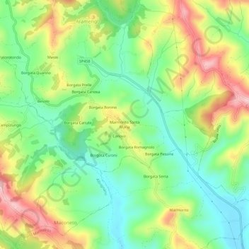
Name: Marmorito Santa Maria topographic map, elevation, terrain.

Location: Marmorito Santa Maria, Aramengo, Asti, Piemont, 14020, Italy (45.06447 7.98892 45.10447 8.02892)

Average elevation: 329 m

Minimum elevation: 231 m

Maximum elevation: 477 m

Gear up for your next adventure:

🧴Outdoor Sunscreen - High SPF protection for high-altitude UV exposure
🥾Trail Running Shoes - Lightweight and durable shoes for trail running
🥤Collapsible Travel Cup - Saves space and weight in your mess kit
🧥Waterproof Pants - Keep dry during rainy hiking conditions
🛏️Camping Sleeping Mat - Comfortable mats for sleeping outdoors

As an Amazon Associate, this site earns from qualifying purchases at no extra cost to you.