Geolocate

Albaretto della Torre topographic map

Click on the map to display elevation.

About this map

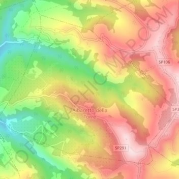
Name: Albaretto della Torre topographic map, elevation, terrain.

Location: Albaretto della Torre, Cuneo, Piemont, Italy (44.58799 8.04419 44.61120 8.08324)

Average elevation: 576 m

Minimum elevation: 381 m

Maximum elevation: 734 m

Gear up for your next adventure:

🧦Crew Hiking Socks - Comfortable socks for long-distance hikes
🛰️Satellite Messenger - Emergency communication for areas with no cell service
🧤Rechargeable Heated Gloves - Extreme warmth for Canadian winter expeditions
🥾Trail Running Boots - Durable shoes designed for trail running
🧥Insulated Jacket - Keep warm in cold outdoor conditions

As an Amazon Associate, this site earns from qualifying purchases at no extra cost to you.