
Freetown topographic map
Click on the map to display elevation.
About this map
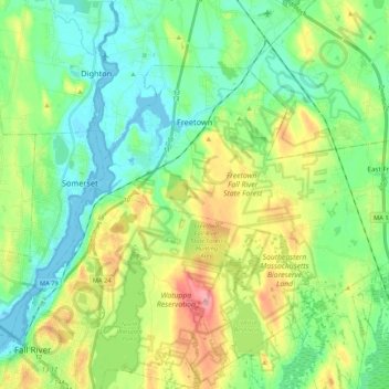
Name: Freetown topographic map, elevation, terrain.
Location: Freetown, Bristol County, Massachusetts, United States (41.71178 -71.12091 41.81780 -70.90718)
Average elevation: 34 m
Minimum elevation: -5 m
Maximum elevation: 105 m
Other topographic maps
Click on a map to view its topography, its elevation and its terrain.