Geolocate

Oxidation Pond topographic map

Click on the map to display elevation.

About this map

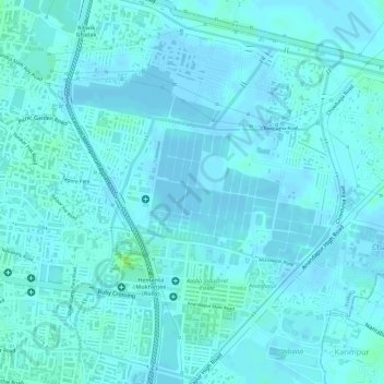
Name: Oxidation Pond topographic map, elevation, terrain.

Location: Oxidation Pond, Kolkata, West Bengal, 700100, India (22.52077 88.40446 22.52087 88.40456)

Average elevation: 3 m

Minimum elevation: -3 m

Maximum elevation: 12 m

Other topographic maps

Click on a map to view its topography, its elevation and its terrain.

Swabhumi

India > West Bengal > Kolkata

Average elevation: 6 m

Maidan

India > West Bengal > Kolkata

Average elevation: 9 m

Maidan

India > West Bengal > Kolkata

Average elevation: 9 m

Gear up for your next adventure:

🚲MTB Frame Bag - Carry tools and maps directly on your bicycle frame
🪑Ultralight Camping Stool - Compact seating for rest stops during long hikes
👟Leg Gaiters - Keep debris, mud, and snow out of your boots
🚲Handlebar Phone Mount - View topographic-map.com live while cycling
🧢Beanie Hat - Keep your head warm in cold weather

As an Amazon Associate, this site earns from qualifying purchases at no extra cost to you.