Geolocate

Puerto Rico topographic map

Click on the map to display elevation.

About this map

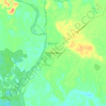
Name: Puerto Rico topographic map, elevation, terrain.

Location: Puerto Rico, Ariari, Meta, Colombia (2.90021 -73.24513 2.98021 -73.16513)

Average elevation: 214 m

Minimum elevation: 196 m

Maximum elevation: 246 m

Gear up for your next adventure:

🧭GPS Outdoor Watch - Smart watch for navigation and fitness tracking in nature
🚲Heavy Duty Bike Lock - Secure your bike at the trailhead or during stops
🧥Waterproof Hiking Jacket - Protect yourself from rain and wind while hiking
🏃Hydration Running Vest - Carry water and maps close to your body for speed
🌬️Windproof Camp Stove - Efficient cooking even on exposed mountain peaks

As an Amazon Associate, this site earns from qualifying purchases at no extra cost to you.