
Thank you for supporting this site ❤️
Make a donation
Make a donation
Gear up for your next adventure:
As an Amazon Associate, this site earns from qualifying purchases at no extra cost to you.
Davi topographic map
Click on the map to display elevation.
Thank you for supporting this site ❤️
Make a donation
Make a donation
Gear up for your next adventure:
As an Amazon Associate, this site earns from qualifying purchases at no extra cost to you.
About this map
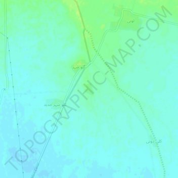
Name: Davi topographic map, elevation, terrain.
Location: Davi, Sibi Tehsil, Sibi District, Sibi Division, Pakistan (29.59604 67.89112 29.63604 67.93112)
Average elevation: 144 m
Minimum elevation: 140 m
Maximum elevation: 152 m
Thank you for supporting this site ❤️
Make a donation
Make a donation
Gear up for your next adventure:
As an Amazon Associate, this site earns from qualifying purchases at no extra cost to you.