Geolocate

Habitat topographic map

Click on the map to display elevation.

About this map

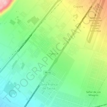
Name: Habitat topographic map, elevation, terrain.

Location: Habitat, Tacna, 23004, Perú (-18.08783 -70.31363 -18.04783 -70.27363)

Average elevation: 394 m

Minimum elevation: 328 m

Maximum elevation: 509 m

Other topographic maps

Click on a map to view its topography, its elevation and its terrain.

Urbanización Bacna Ríos

Perú > Tacna > Tacna

Average elevation: 581 m

Óvalo Cristo Rey

Perú > Tacna > Tacna

Average elevation: 504 m

Gear up for your next adventure:

🚑Survival Whistle - Signal for help across long distances in mountains
🗺️Topographic Maps - Detailed maps to explore trails, mountains, and wilderness areas
🥾Hiking Shoes - Durable and comfortable shoes for trail hiking
🧤Rechargeable Heated Gloves - Extreme warmth for Canadian winter expeditions
🧼Biodegradable Camp Soap - Environmentally friendly cleaning for gear and body

As an Amazon Associate, this site earns from qualifying purchases at no extra cost to you.