Geolocate

Arrow River topographic map

Click on the map to display elevation.

About this map

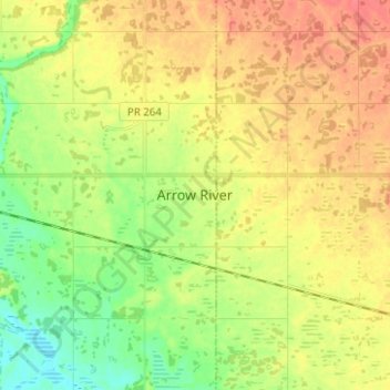
Name: Arrow River topographic map, elevation, terrain.

Location: Arrow River, Manitoba, R0M 0H0, Canada (50.09333 -100.80667 50.17333 -100.72667)

Average elevation: 497 m

Minimum elevation: 471 m

Maximum elevation: 521 m

Manitoba trails, hiking, mountain biking, running and outdoor activities

Gear up for your next adventure:

🔦LED Flashlight - Powerful and long-lasting flashlight for camping and emergencies
🥾Mountain Hiking Boots - High-traction boots for rocky terrain
🦌Outdoor Trail Camera - Monitor wildlife activity near your favorite spots
💡Compact LED Flashlight - Powerful and portable flashlight for outdoor use
🛶Kayak Dry Bag - Waterproof storage for kayaking adventures

As an Amazon Associate, this site earns from qualifying purchases at no extra cost to you.