Geolocate

Monte Hermoso topographic map

Click on the map to display elevation.

About this map

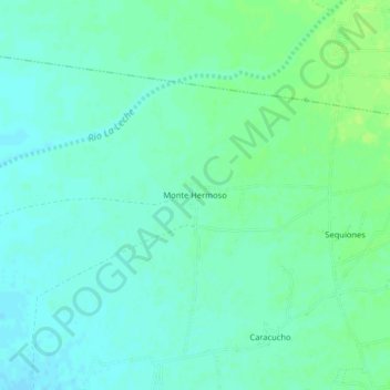
Name: Monte Hermoso topographic map, elevation, terrain.

Location: Monte Hermoso, Mórrope, Lambayeque, Perú (-6.48629 -79.97876 -6.44629 -79.93876)

Average elevation: 34 m

Minimum elevation: 29 m

Maximum elevation: 41 m

Other topographic maps

Click on a map to view its topography, its elevation and its terrain.

Rio La Leche

Perú > Lambayeque > Mórrope

Average elevation: 1 m

Gear up for your next adventure:

🥾Hiking Shoes - Durable and comfortable shoes for trail hiking
🚲Handlebar Phone Mount - View topographic-map.com live while cycling
🧣Merino Neck Gaiter - Protects against wind, sun, and cold at high altitudes
💧Hydration Bladder - Hands-free hydration solution for long treks
🧢Beanie Hat - Keep your head warm in cold weather

As an Amazon Associate, this site earns from qualifying purchases at no extra cost to you.