
la Quar topographic map
Interactive map
Click on the map to display elevation.
About this map
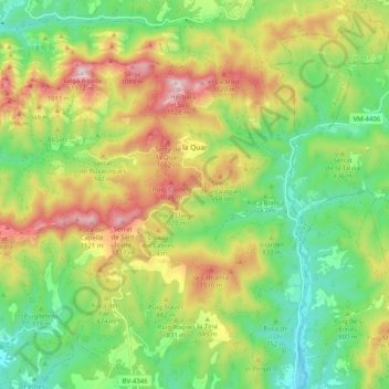
Name: la Quar topographic map, elevation, terrain.
Location: la Quar, Berguedà, Cataluña, España (42.06140 1.90844 42.13007 2.00975)
Average elevation: 815 m
Minimum elevation: 594 m
Maximum elevation: 1,140 m