Geolocate

Karnampattu topographic map

Click on the map to display elevation.

About this map

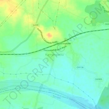
Name: Karnampattu topographic map, elevation, terrain.

Location: Karnampattu, Katpadi, Vellore, Tamil Nadu, 632515, India (12.94991 79.22193 12.98991 79.26193)

Average elevation: 190 m

Minimum elevation: 179 m

Maximum elevation: 209 m

Other topographic maps

Click on a map to view its topography, its elevation and its terrain.

Ponnai River

India > Tamil Nadu > Katpadi > Tengal

Average elevation: 256 m

Gear up for your next adventure:

🎒Hiking Daypack - Lightweight and durable backpacks for day trips and excursions
🛶Kayak Accessories - Essential gear for safe and fun kayaking adventures
🧦Crew Hiking Socks - Comfortable socks for long-distance hikes
🥾Hiking Shoes - Durable and comfortable shoes for trail hiking
Camping Essentials - All-in-one gear for a comfortable camping trip

As an Amazon Associate, this site earns from qualifying purchases at no extra cost to you.