Geolocate

Kanon topographic map

Click on the map to display elevation.

About this map

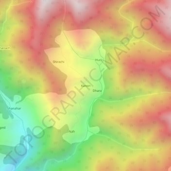
Name: Kanon topographic map, elevation, terrain.

Location: Kanon, Banjar, Kullu, Himachal Pradesh, India (31.66592 77.39263 31.70592 77.43263)

Average elevation: 2,552 m

Minimum elevation: 1,721 m

Maximum elevation: 3,266 m

Gear up for your next adventure:

🔭Compact Monocular - One-handed bird watching and trail spotting
🥾Waterproof Hiking Boots - Boots keeping your feet dry in wet conditions
🛏️Sleeping Bag - Warm and compact sleeping bags for outdoor camping
💧Reusable Water Bottle - Durable water bottles for hydration on trails
Tent Footprint - Protect tent floor and increase durability

As an Amazon Associate, this site earns from qualifying purchases at no extra cost to you.