
Ouled Chebel topographic map
Interactive map
Click on the map to display elevation.
About this map
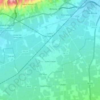
Name: Ouled Chebel topographic map, elevation, terrain.
Location: Ouled Chebel, Daïra Birtouta, Alger, 16118, Algérie (36.57958 2.95340 36.63701 3.06461)
Average elevation: 48 m
Minimum elevation: 25 m
Maximum elevation: 186 m