Geolocate

Kedondong topographic map

Click on the map to display elevation.

About this map

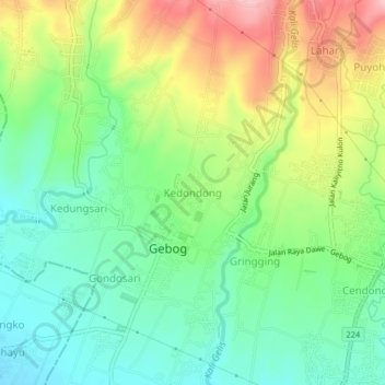
Name: Kedondong topographic map, elevation, terrain.

Location: Kedondong, Kudus, Central Java, Java, 59354, Indonesia (-6.74932 110.82665 -6.70932 110.86665)

Average elevation: 139 m

Minimum elevation: 78 m

Maximum elevation: 238 m

Gear up for your next adventure:

🧣Merino Neck Gaiter - Protects against wind, sun, and cold at high altitudes
🧳Compression Sacks - Maximize space in your backpack by shrinking gear
🧣Evaporative Cooling Towel - Beat the heat during intense summer climbs
🔨Vehicle Emergency Tool - Safety tool for remote road trips to trailheads
🧥Waterproof Jacket - Lightweight rain jackets for hiking and outdoor activities

As an Amazon Associate, this site earns from qualifying purchases at no extra cost to you.