
St. Gabriel topographic map
Interactive map
Click on the map to display elevation.
About this map
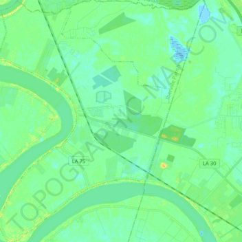
Name: St. Gabriel topographic map, elevation, terrain.
Location: St. Gabriel, Iberville Parish, Louisiana, United States (30.18313 -91.15554 30.31986 -91.04102)
Average elevation: 7 m
Minimum elevation: -1 m
Maximum elevation: 21 m
Other topographic maps
Click on a map to view its topography, its elevation and its terrain.
Iberville
United States > Louisiana > Iberville Parish > St. Gabriel
Iberville, St. Gabriel, Iberville Parish, Louisiana, 70776, United States
Average elevation: 7 m