Geolocate

Encino topographic map

Click on the map to display elevation.

About this map

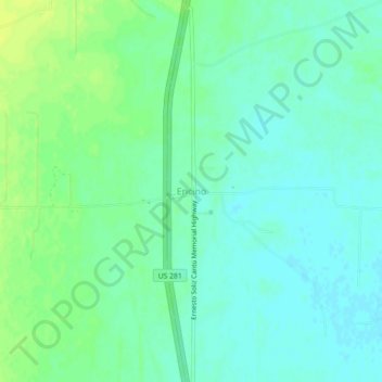
Name: Encino topographic map, elevation, terrain.

Location: Encino, Brooks County, Texas, 78353, United States (26.91616 -98.15528 26.95616 -98.11528)

Average elevation: 39 m

Minimum elevation: 32 m

Maximum elevation: 49 m

Other topographic maps

Click on a map to view its topography, its elevation and its terrain.

Falfurrias

United States > Texas > Brooks County

Average elevation: 37 m

Gear up for your next adventure:

💡Portable Camping Lamp - Rechargeable lamp for campsite lighting
🧦Thermal Socks - Warm socks for winter hiking or camping
🧦Crew Hiking Socks - Comfortable socks for long-distance hikes
🥾Trail Running Boots - Durable shoes designed for trail running
🥾Hiking Boots - Sturdy boots providing ankle support and traction on rugged trails

As an Amazon Associate, this site earns from qualifying purchases at no extra cost to you.