Geolocate

Saumur topographic map

Click on the map to display elevation.

About this map

Name: Saumur topographic map, elevation, terrain.

Location: Saumur, Maine-et-Loire, Pays de la Loire, Metropolitan France, 49400, France (47.21230 -0.16013 47.31674 -0.00834)

Average elevation: 41 m

Minimum elevation: 16 m

Maximum elevation: 98 m

Other topographic maps

Click on a map to view its topography, its elevation and its terrain.

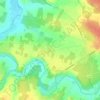
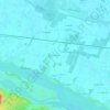
Cornu

France > Pays de la Loire > Maine-et-Loire > Terranjou

Average elevation: 53 m

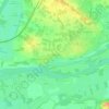
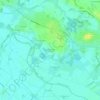
Les Pentes

France > Pays de la Loire > Maine-et-Loire > Saumur

Average elevation: 49 m

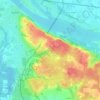
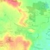
Conception

France > Pays de la Loire > Maine-et-Loire

Average elevation: 72 m

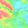
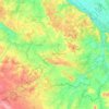
Gallard

France > Pays de la Loire > Maine-et-Loire > Sèvremoine

Average elevation: 99 m

Gear up for your next adventure:

🚲Bike Repair Kit - Essential tools for on-trail mechanical issues
🧰Emergency Multi-Tool - Compact multi-tool for outdoor survival
⛺Backpacking Tent - Lightweight tent for long-distance hiking trips
👟Sport Hiking Sandals - Breathable footwear for water crossings and camp rest
🎒Fully Waterproof Backpack - Total protection for photography gear and electronics

As an Amazon Associate, this site earns from qualifying purchases at no extra cost to you.