
Sumulong topographic map
Click on the map to display elevation.
About this map
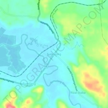
Name: Sumulong topographic map, elevation, terrain.
Location: Sumulong, Calauag, Quezon, Calabarzon, 4318, Philippines (13.93717 122.31006 13.97717 122.35006)
Average elevation: 21 m
Minimum elevation: 0 m
Maximum elevation: 87 m
Other topographic maps
Click on a map to view its topography, its elevation and its terrain.