Geolocate

Gates Park topographic map

Click on the map to display elevation.

About this map

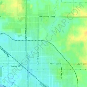
Name: Gates Park topographic map, elevation, terrain.

Location: Gates Park, Waterloo, Black Hawk County, Iowa, United States (42.51821 -92.33272 42.52015 -92.32783)

Average elevation: 268 m

Minimum elevation: 258 m

Maximum elevation: 284 m

Gear up for your next adventure:

🧴Outdoor Sunscreen - High SPF protection for high-altitude UV exposure
👟Trail Running Shoes - Agile footwear for fast-paced topographic exploration
🧭GPS Tracker - Track your location in remote areas safely
🧣Merino Neck Gaiter - Protects against wind, sun, and cold at high altitudes
Backpacking Tent - Lightweight tent for long-distance hiking trips

As an Amazon Associate, this site earns from qualifying purchases at no extra cost to you.