Geolocate

Cazalla topographic map

Click on the map to display elevation.

About this map

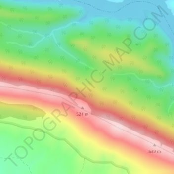
Name: Cazalla topographic map, elevation, terrain.

Location: Cazalla, Torrejón el Rubio, Cáceres, Extremadura, Spain (39.80391 -5.97199 39.82391 -5.95199)

Average elevation: 373 m

Minimum elevation: 243 m

Maximum elevation: 542 m

Gear up for your next adventure:

🎒Hiking Backpack - Lightweight and ergonomic backpacks for day hikes or multi-day treks
🥫Freeze-Dried Meals - Lightweight, high-calorie nutrition for multi-day treks
👟Trail Running Shoes - Agile footwear for fast-paced topographic exploration
🥘Camping Cookware Set - Compact nesting pots and pans for trail cooking
🌡️Emergency Mylar Blankets - Compact thermal protection for unexpected nights outdoors

As an Amazon Associate, this site earns from qualifying purchases at no extra cost to you.