Geolocate

Heao topographic map

Click on the map to display elevation.

About this map

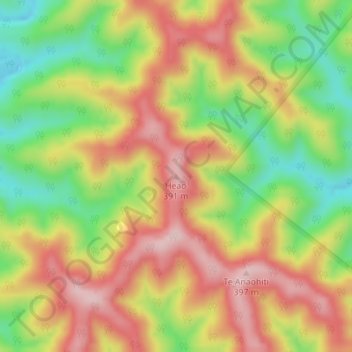
Name: Heao topographic map, elevation, terrain.

Location: Heao, Stratford District, Manawatū-Whanganui, New Zealand (-39.13048 174.95539 -39.13038 174.95549)

Average elevation: 253 m

Minimum elevation: 116 m

Maximum elevation: 379 m

Gear up for your next adventure:

Camping Tent - Weather-resistant tents suitable for 2 to 6 people
🧴Bear Spray Holster - Quick-access carry for essential Canadian wilderness safety
🧭Orienteering Kit - Tools for map reading and navigation in the wild
🔭Compact Monocular - One-handed bird watching and trail spotting
🥾Waterproof Hiking Boots - Boots keeping your feet dry in wet conditions

As an Amazon Associate, this site earns from qualifying purchases at no extra cost to you.