Geolocate

JUNTAS topographic map

Click on the map to display elevation.

About this map

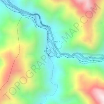
Name: JUNTAS topographic map, elevation, terrain.

Location: JUNTAS, Cisneros, Dagua, Sur, Valle del Cauca, Colombia (3.76817 -76.77011 3.78817 -76.75011)

Average elevation: 553 m

Minimum elevation: 299 m

Maximum elevation: 931 m

Gear up for your next adventure:

🏕️Camping Hammock - Integrated protection for sleeping between trees
🥾Durable Hiking Shoes - Long-lasting shoes for frequent hiking
🥾Trail Hiking Socks - Comfortable socks to prevent blisters and fatigue
🧣Merino Neck Gaiter - Protects against wind, sun, and cold at high altitudes
🧥Softshell Jacket - Windproof and breathable jacket for hiking

As an Amazon Associate, this site earns from qualifying purchases at no extra cost to you.