Geolocate

Samrad topographic map

Click on the map to display elevation.

About this map

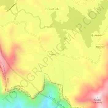
Name: Samrad topographic map, elevation, terrain.

Location: Samrad, Akola, Ahmednagar, Maharashtra, India (19.50581 73.66286 19.54581 73.70286)

Average elevation: 756 m

Minimum elevation: 295 m

Maximum elevation: 1,150 m

Gear up for your next adventure:

🥾Hiking Boots - Sturdy boots providing ankle support and traction on rugged trails
🥾Hiking Gaiters - Protect legs and shoes from mud, snow, and debris
🧤Thermal Hiking Gloves - Grip-enhanced gloves for cold-weather altitude trekking
🛏️Sleeping Bag - Warm and compact sleeping bags for outdoor camping
🥾Mountain Hiking Boots - High-traction boots for rocky terrain

As an Amazon Associate, this site earns from qualifying purchases at no extra cost to you.