
蒲庙镇 topographic map
Interactive map
Click on the map to display elevation.
About this map
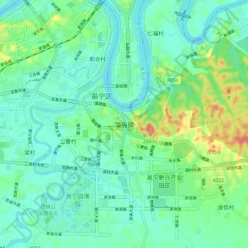
Name: 蒲庙镇 topographic map, elevation, terrain.
Location: 蒲庙镇, 南宁市, 广西壮族自治区, 中国 (22.71193 108.45074 22.79193 108.53074)
Average elevation: 89 m
Minimum elevation: 56 m
Maximum elevation: 199 m