
La Encrucijada (Km. 70) topographic map
Interactive map
Click on the map to display elevation.
About this map
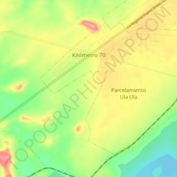
Name: La Encrucijada (Km. 70) topographic map, elevation, terrain.
Average elevation: 123 m
Minimum elevation: 64 m
Maximum elevation: 194 m