Geolocate

Edina topographic map

Click on the map to display elevation.

About this map

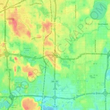
Name: Edina topographic map, elevation, terrain.

Location: Edina, Hennepin County, Minnesota, 55435, United States (44.84970 -93.39012 44.92970 -93.31012)

Average elevation: 270 m

Minimum elevation: 243 m

Maximum elevation: 306 m

Gear up for your next adventure:

🥾Approach Shoes - Shoes designed for climbing approaches and rugged trails
💧Collapsible Water Bottle - Space-saving water bottle for outdoor activities
🔋Solar Power Bank - Keep your GPS and devices charged during long outdoor trips
🧥Waterproof Hiking Jacket - Protect yourself from rain and wind while hiking
🎒Hiking Daypack - Lightweight and durable backpacks for day trips and excursions

As an Amazon Associate, this site earns from qualifying purchases at no extra cost to you.